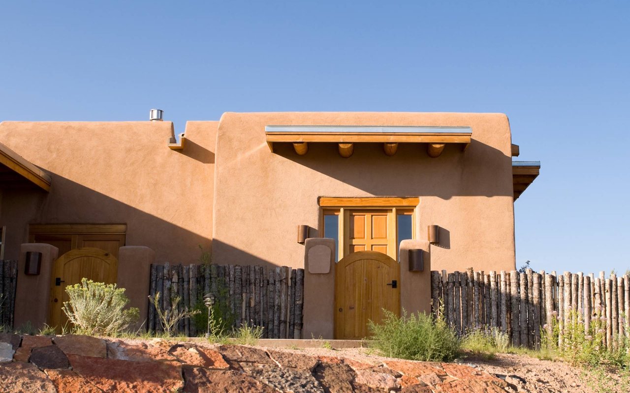
Cochiti
The community boasts a golf course, the Cochiti dam and the Kasha-Katuwe Tent Rocks National Monument.
Located 22 miles southwest of Santa Fe, Cochiti community is a historic pueblo, which is listed as a historic district on the National Register of Historic Places. The community boasts a golf course, the Cochiti dam and the Kasha-Katuwe Tent Rocks National Monument. Cochiti Pueblo contains 53,779 acres of reservation land of which 7,042 acres are dedicated to residential and commercial lease properties and the golf course.
The elevation varies from 5300 to 6800 feet above sea level and is characterized by the Rio Grande, which flows through reservation lands. Cochiti Pueblo is well known for their craftsmanship in making jewelry, pottery, (storyteller), and drums.
Peña Blanca’s name is derived from the Spanish term for “white rock”, peña blanca. However, without the tilde, pena blanca actually means “white sorrow” or “white pain”.
439 people live in Cochiti, where the median age is 50 and the average individual income is $33,700. Data provided by the U.S. Census Bureau.
Total Population
Median Age
Population Density
Average individual Income
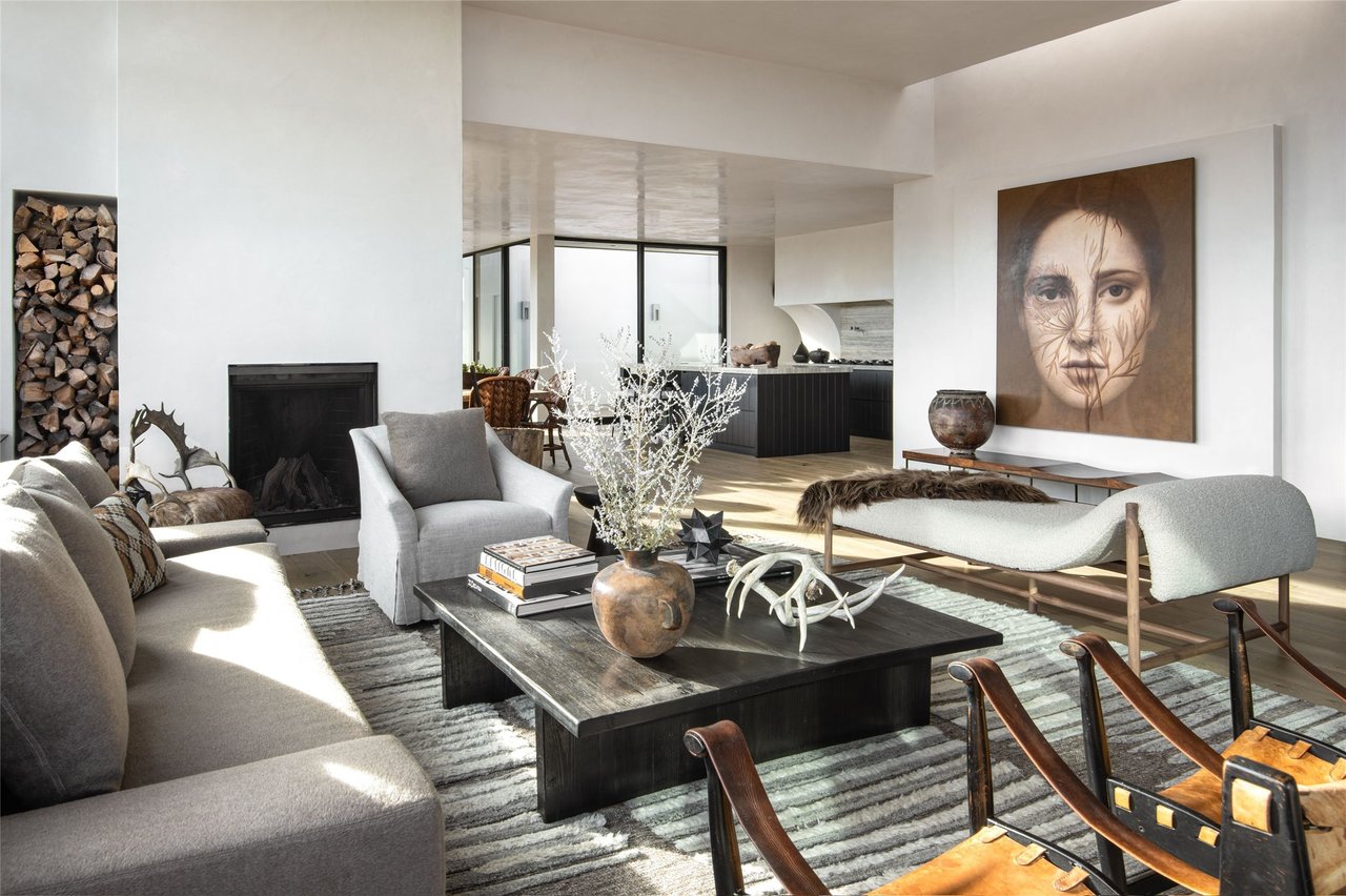
There's plenty to do around Cochiti, including shopping, dining, nightlife, parks, and more. Data provided by Walk Score and Yelp.
Explore popular things to do in the area, including Kasha-Katuwe Tent Rocks National Monument.
Cochiti has 234 households, with an average household size of 2. Data provided by the U.S. Census Bureau. Here’s what the people living in Cochiti do for work — and how long it takes them to get there. Data provided by the U.S. Census Bureau. 439 people call Cochiti home. The population density is 156 and the largest age group is Data provided by the U.S. Census Bureau.
Total Population
Population Density Population Density This is the number of people per square mile in a neighborhood.
Median Age
Men vs Women
Population by Age Group
0-9 Years
10-17 Years
18-24 Years
25-64 Years
65-74 Years
75+ Years
Education Level
Total Households
Average Household Size
Average individual Income
Households with Children
With Children:
Without Children:
Blue vs White Collar Workers
Blue Collar:
White Collar:
Explore communities that fit you
417 E. Palace Avenue, Santa Fe, NM 87501
417 E. Palace Avenue, Santa Fe, NM 87501